

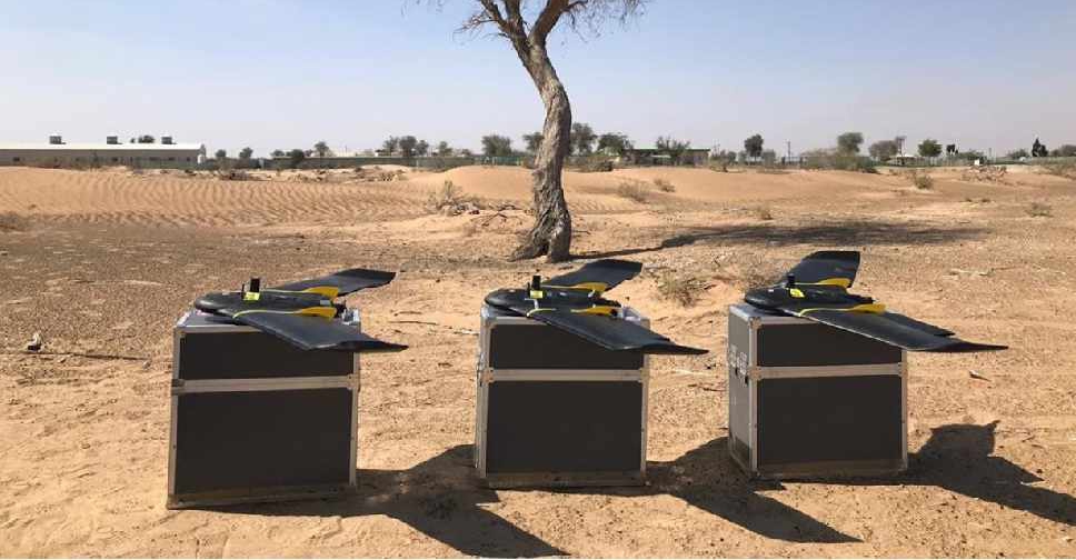
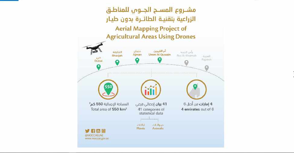
A project to map agricultural areas in the UAE using drones has completed its first phase.
It’s captured around 550 square kilometres of land across Dubai, Sharjah, Ajman, and Umm Al Quwain so far.
The Ministry of Climate Change and Environment will use the data to monitor crops and help farmers with forward planning.
Agricultural areas in Fujairah and Ras Al Khaimah will be mapped in the project's second phase later this year.

 UAE President and Rulers offer condolences to H.H. Sheikh Mohammed
 Sheikh Ahmed bin Rashid Al Maktoum laid to rest
 UAE, partners renew push for Gaza peace plan
 Sharjah Ruler approves major leisure project in Kalba

