

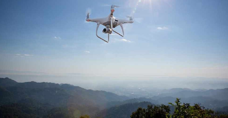
The UAE has completed the trial phase of a project to map agricultural areas using drones.
It's been helping the authorities collect data on farms and greenhouses in the country, as well as livestock population and soil type.
The Ministry of Climate Change and Environment (MOCCAE) is also using the technology to monitor crops and help farmers with forward planning.
The project's pilot phase between August and December in 2018, involved remote sensing and aerial imagery of Wadi Al-aim in Ras Al Khaimah.

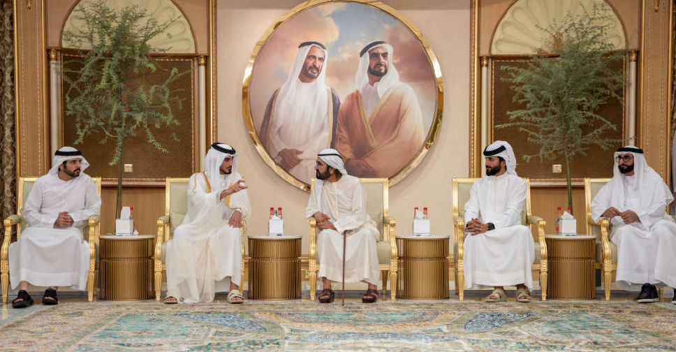 H.H. Sheikh Mohammed receives condolences on passing of Sheikh Ahmed
 Sheikh Abdullah meets President of Ecuador on UNGA81 sidelines
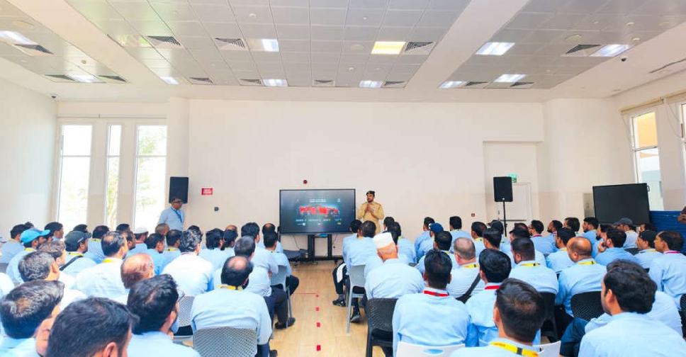 Dubai Police trains school bus drivers and supervisors on student safety
 UAE welcomes US statement on Sudan peace efforts

